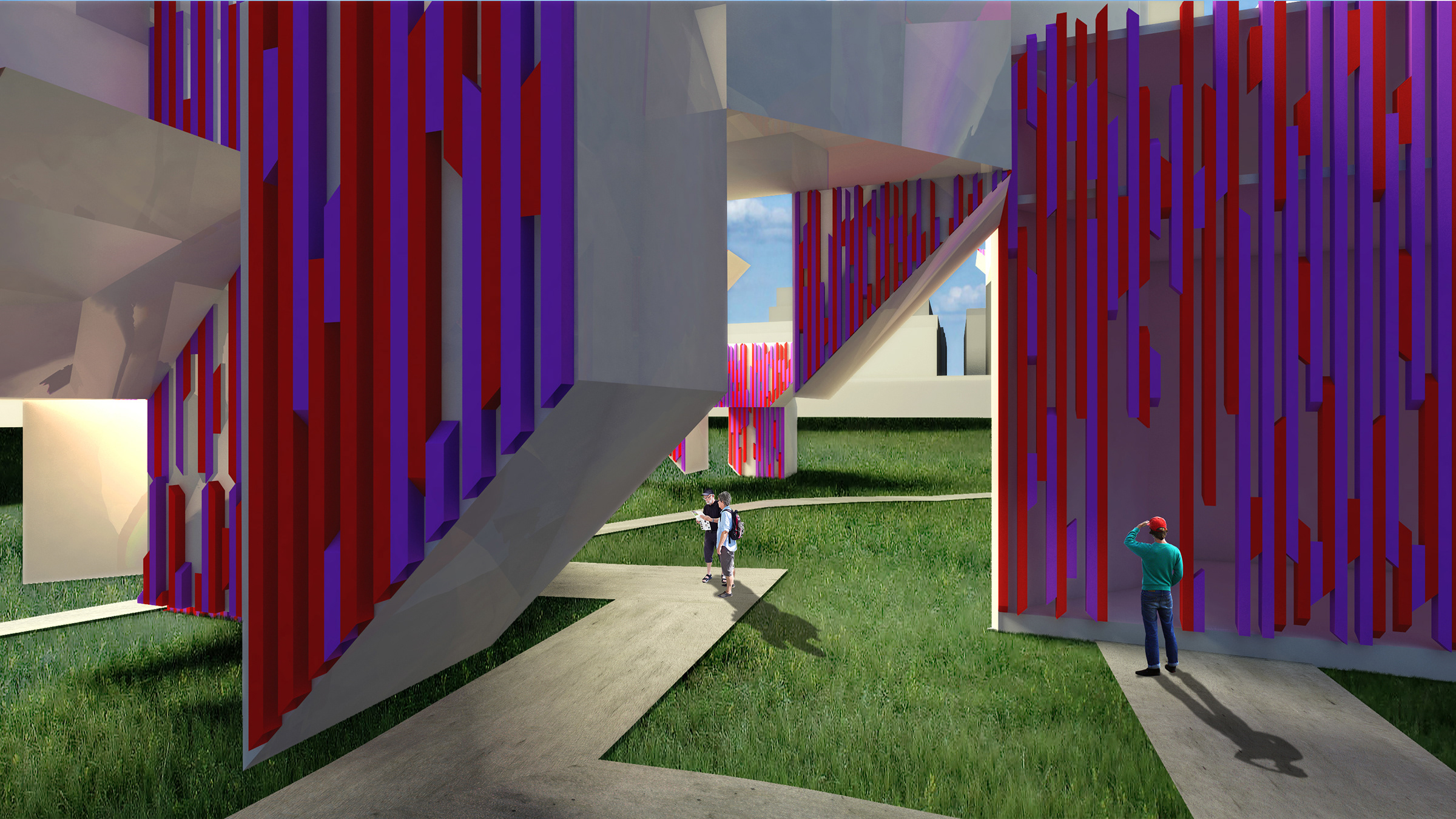
This advanced design studio from the Spring semester of 2019 was taught under the lead of Nichole Weidemann and worked with designers from Frog Design Inc. in Austin, TX and Steven Gonzales, the Director of El Camino Real de los Tejas National Historic Trail branch of the National Parks Service in order to explore solutions pertaining to the key problem: how do we improve the visitor experience of El Camino Real de los Tejas?
The semester began with heavily outlined research protocols under the guidance of multiple teams of designers from Frog Design, including visits to their office and crits in our studio, following their design research protocol and use of sticky notes and research phases. 

This image documented the research outline and main board of found data, missing pieces, in-field interviews, secondary research, and shows our fearless professor helping us make sense of it all.
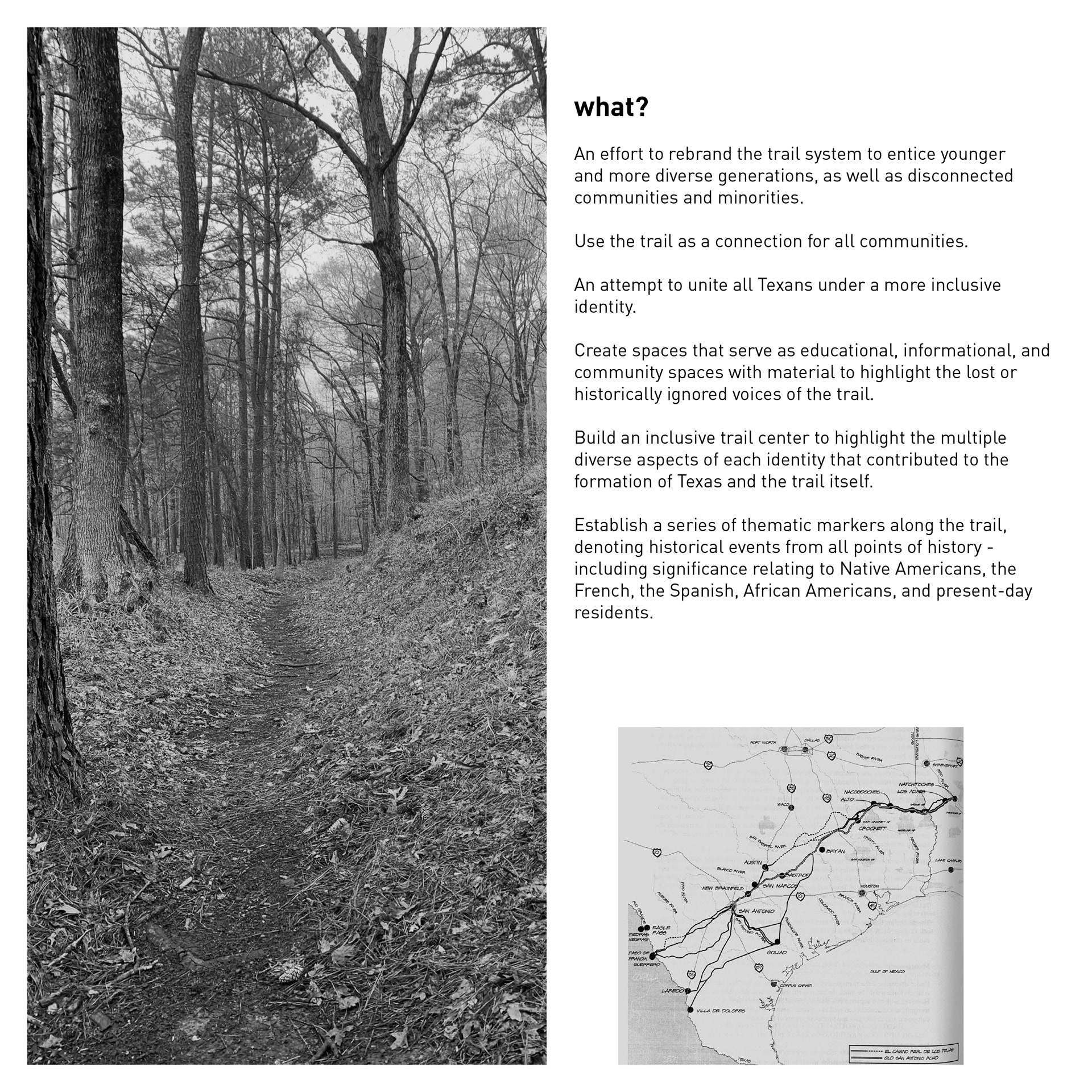
From the main and overwhelming board of information, as well as what we learned while traveling the full length of the trail (as it fits within the United States of America), we ceased work as a studio and began to take our own individual direction in a subject of our choosing. I began to look at the correlation of El Camino Real de los Tejas in combination with the settlement of Freedom Colonies throughout Texas and began to learn much from communications with Dr. Andrea Roberts who had published the Texas Freedom Colony Project.
I used these resources to develop a brief for a potential project, titled reConnect, focusing on the overlap and intersection points from the three main cultures that led to the founding of Texas and had heavy impact on the history of El Camino Real de los Tejas past the perceived "original" Spanish settlement uses.
The trail had been shown to the visiting Spanish by the Native American Caddo tribes around the area, used and adopted by the Spanish as settlement roads from Mexico City to the first capital of Texas of Los Adaes (which is in Louisiana today), and later used as an escape route for freed slaves during the pre- and post-Civil War and Jim Crow eras. 
What does it mean to reConnect these cultures?
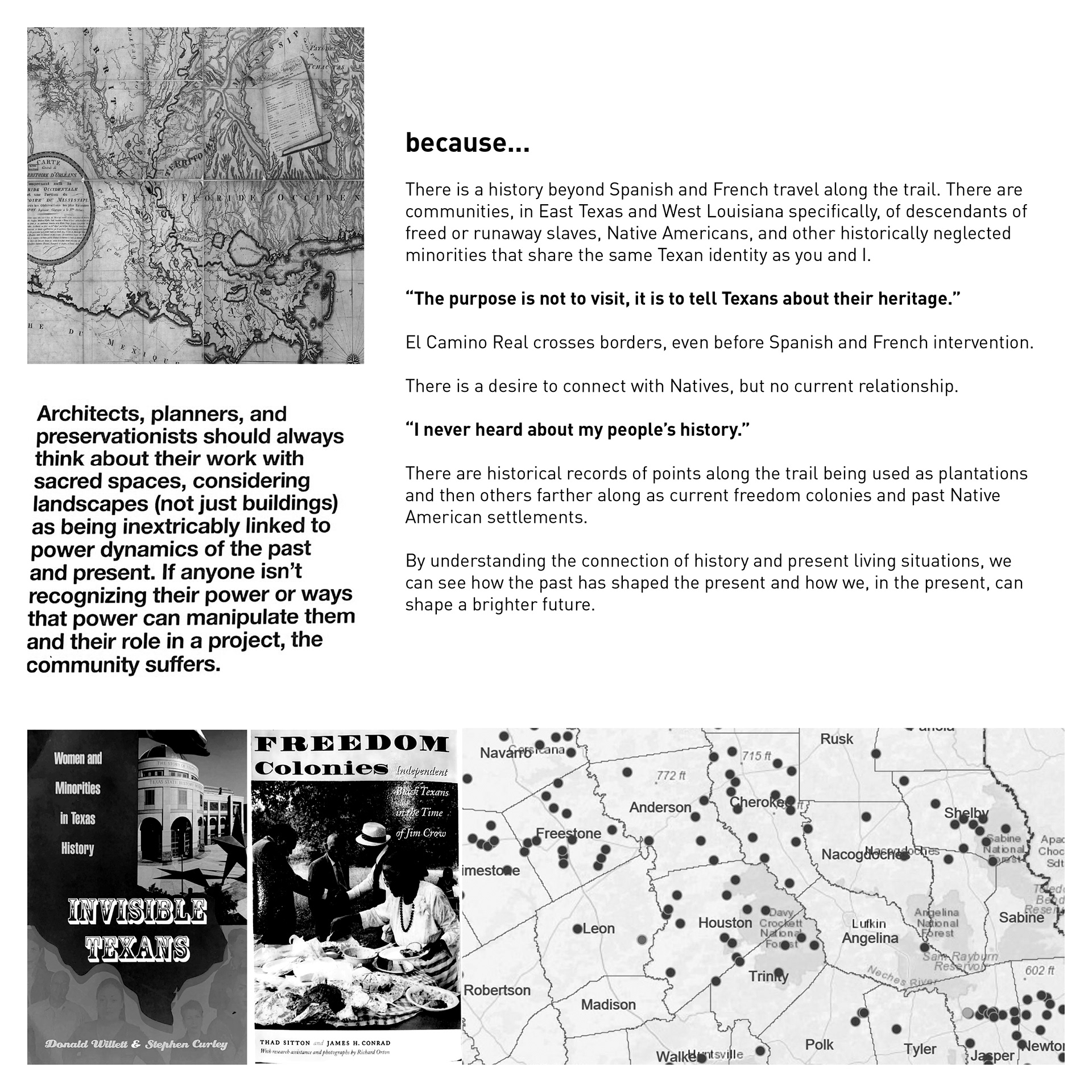
Why should this be important for El Camino Real de los Tejas?
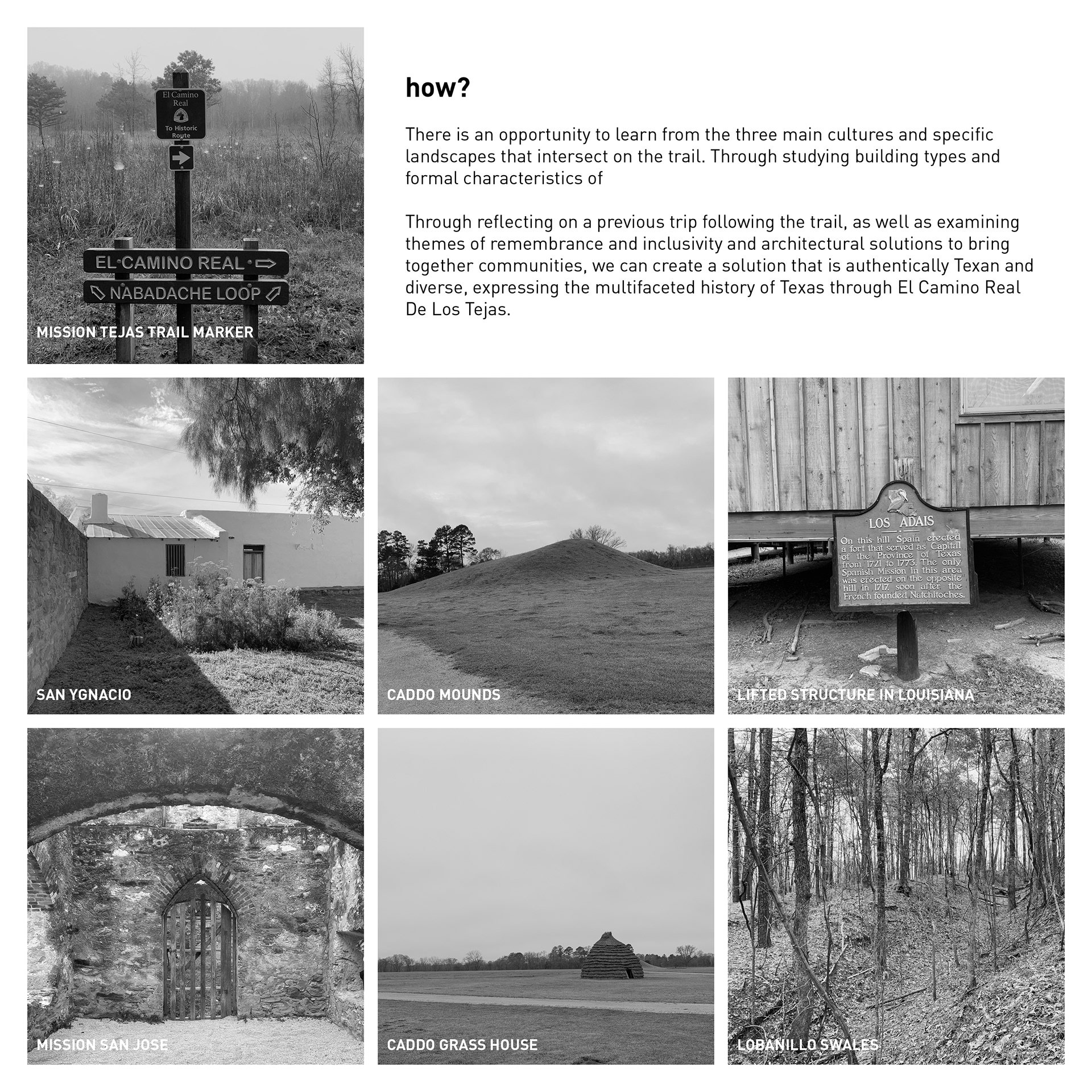
How do we make this happen?
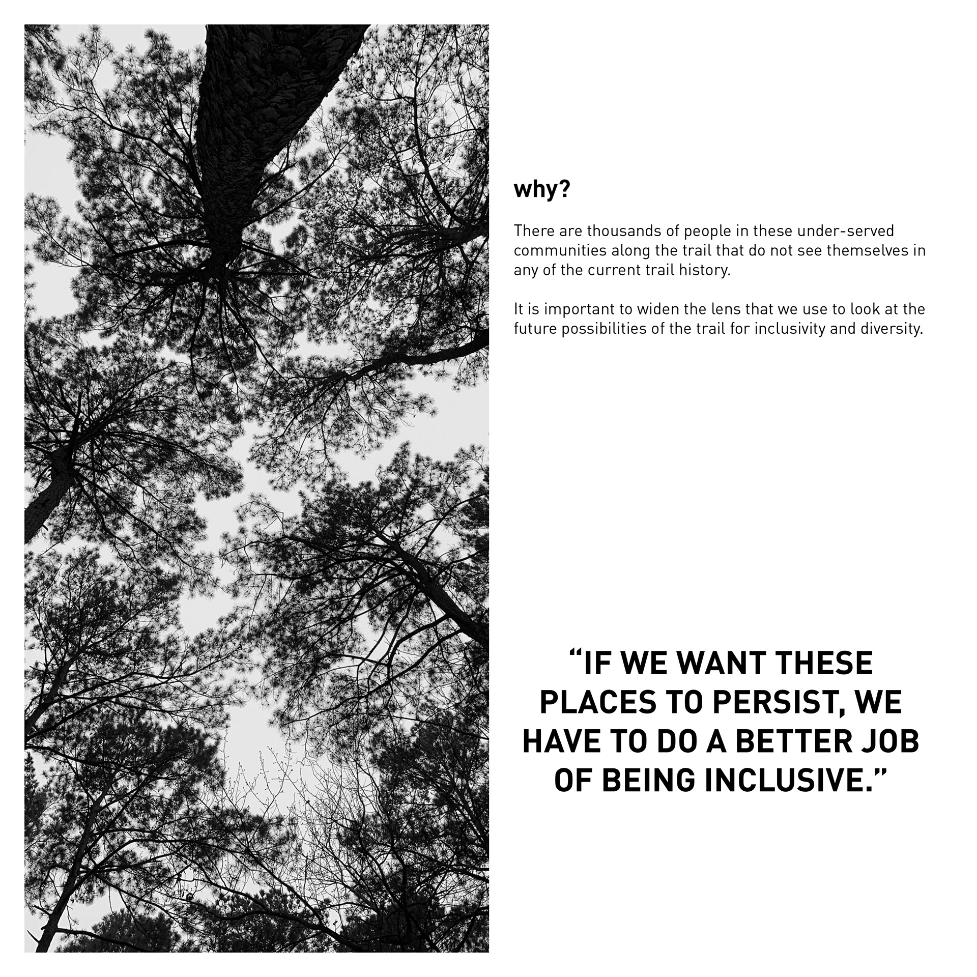
Why is this important for all of us?
From this brief, I went on to develop an idea for a Cultural Center adjacent to the Caddo Mounds Visitors' Center in Alto, TX. I specifically chose this site because it was one of many points that fit my criteria of being specifically on the trail used by the Spanish, occupied by the Caddo with residual mounds and relics from when they had a settlement there, and is a stone's throw from a freedom colony that continues to survive to this day, Weeping Mary.

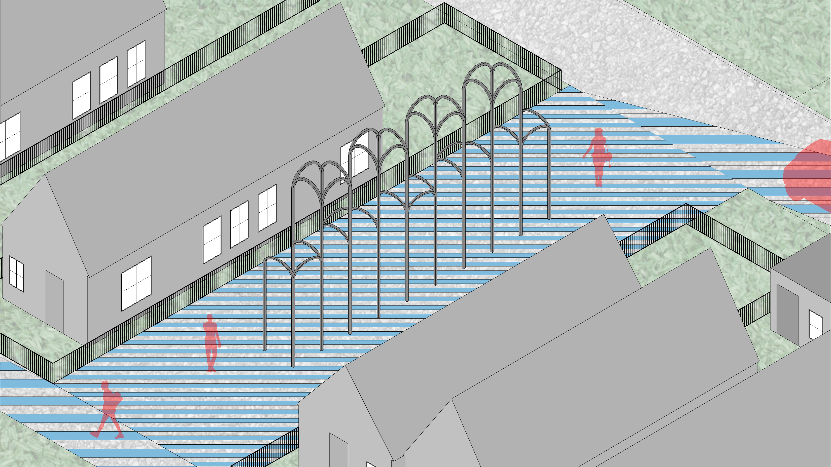
I made a map to show the correlation between the trail itself, Underground Railroad routes, and Freedom Colony settlement patterns. I followed this with a site plan and building schematics to convey the layout of one such cultural center. The galleries are divided but unified to highlight each group's contribution to the trail and history of Texas.

Exploded axonometric diagram to depict gallery layout and overall schematic building design.

The cultural center followed a highly rational and intentional layout with the goal of observing the landscape and honoring the groups that contributed so significantly to the founding and subsequent history of Texas. Each gallery is given careful consideration in its aesthetic properties, explained in the subsequent drawings.

This section shows the cultural center in context of the highway (the historic trail, today) and the Caddo Grass House and Mounds. This also begins to show the different qualities of each gallery, highlighting the Caddo space specifically, sunken into the earth with an eyeline at exactly ground level to observe the Mounds.

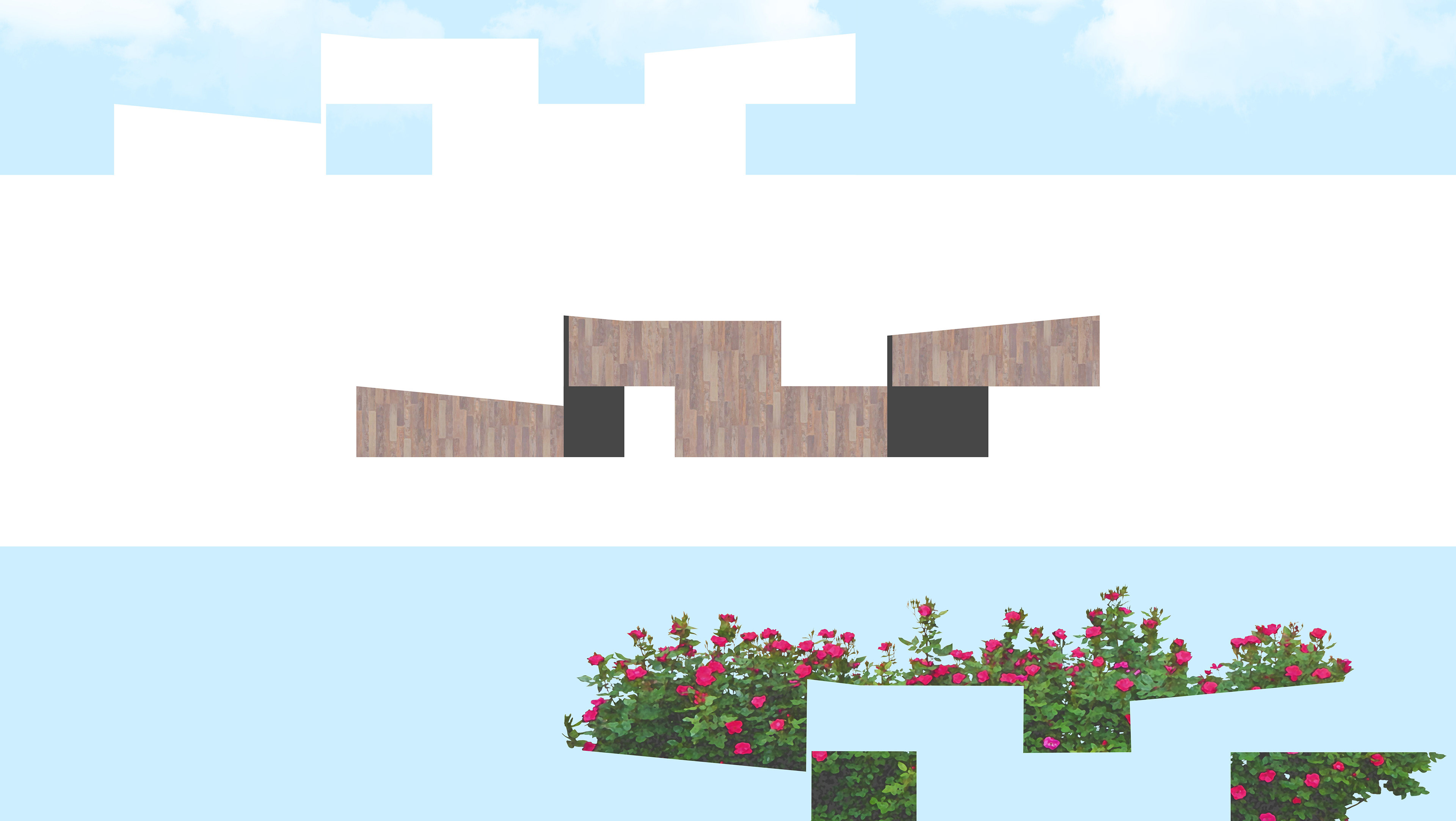
This section shows the character of both the Spanish and Freedom Colony galleries. The Spanish gallery is marked by thick stone walls and skylights, calling back to the many historic Spanish Missions found throughout Texas and the Southwest, and is directly overlooking the trail (highway). The Freedom Colony gallery is raised above the main gathering space, mimicking the stilts that many homes found in the Deep South and Texas Freedom Colonies have, providing a 360 degree view of the surrounding landscape to see the reaches and implications of the choices to settle here, as well as the reasoning to do so to begin with.

The subsequent drawings further elaborate on the gallery experience for each, highlighting the aesthetic qualities and views.

The Caddo gallery, overlooking the Funeral Mound. Made with earthy materials for the ground and providing maximum views.

The Freedom Colony gallery, overlooking the trees in the direction of Weeping Mary. Made with woodsy and warm materials to note the history of Freedom Colony construction.

The Spanish Gallery, overlooking the trail (highway). Made with heavy stone and glass to amplify natural light and the sacred feeling accompanied with Old Spanish Missions.

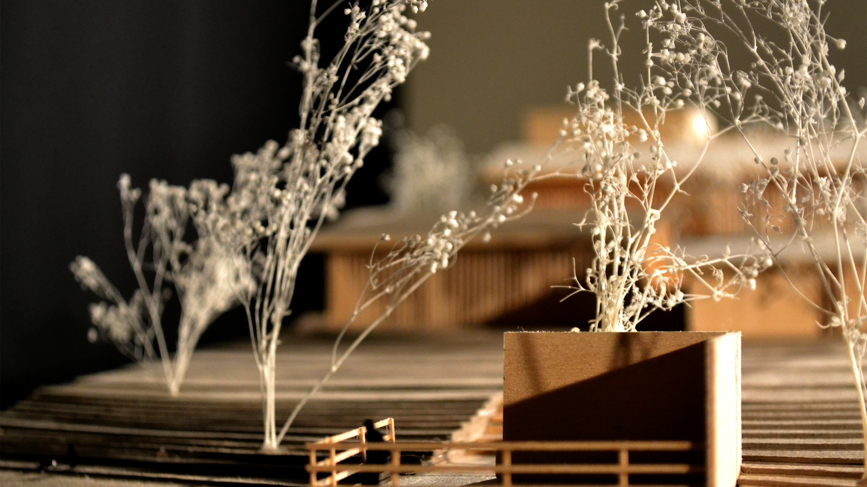
Overall, this project was incredibly eye-opening. As a follow-up from the studio, we have kept in touch with Steven Gonzales about implementing projects developed by this studio in partnership with both the National Trail Service and local communities looking to understand and celebrate their place in Texas history and our history in general.
Back to Top